FlyyMaps
Create, annotate, and collaborate on the best intuitive mapping platform
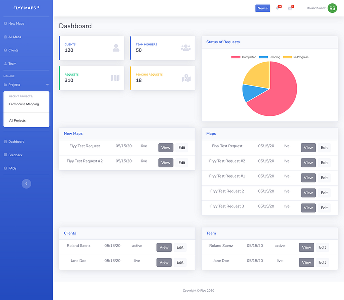

FlyyMaps is an easy to use mapping software that allows for seamless collaboration between your organization and its customers. Import geo files (ArcGIS, AutoCAD, Google Maps etc.), mark them accordingly, share files, message team members or customers tagged to projects, and export back into geo files. FlyyMaps is the space to cut out the noise when it comes to logistics operations, urban planning&development, sales territory tracking, construction sites and more!
More like FlyyMaps
Startups doing something similar, featured in the last two years


Your all-in-one builder

AI-driven platform for smart prioritisation & roadmapping


Test, monitor, and map location APIs in one place

Project and Incident management for small and medium size businesses

Flexible workflows that boost team productivity

Send files and text instantly using a six-character code


