
Quetzly
Test, monitor, and map location APIs in one place
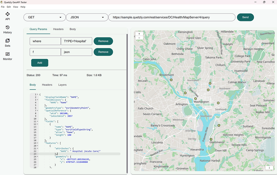
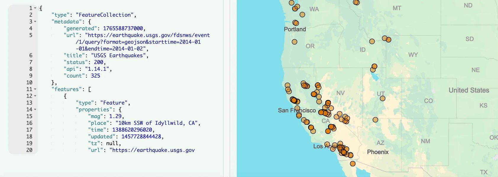
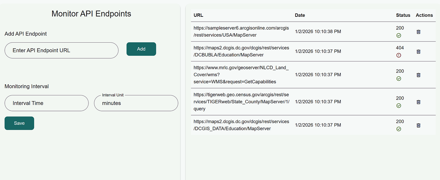
Quetzly helps developers and IT teams test, monitor, and visualize geospatial APIs. Send http requests, adjust headers and query params, and inspect JSON with an integrated editor.
Render WMS, WFS, GeoJSON and ArcGIS services on an interactive map, toggle layers, zoom to extents, and export data as GeoJSON or Shapefile. Track endpoint health to reduce downtime and keep location services reliable.
More like Quetzly
Startups doing something similar, featured in the last two years


Clear and complete visualization and navigation of your cloud resources.

Your all-in-one builder


Secures APIs, directly shielding them from cyber threats

Ask questions of your spreadsheets and get accurate answers fast

Modern QA platform that combines test management with AI automation

Send files and text instantly using a six-character code

AI-powered analytics that highlight important metrics and actions

Bugzy brings clarity to QA workflows from bug report to release sign-off

Turn raw customer signals into agent-ready specs

Ask questions and turn data into credible, ready-to-share visuals