
ReliefViz
Create shaded relief maps
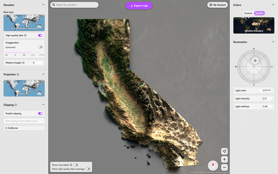
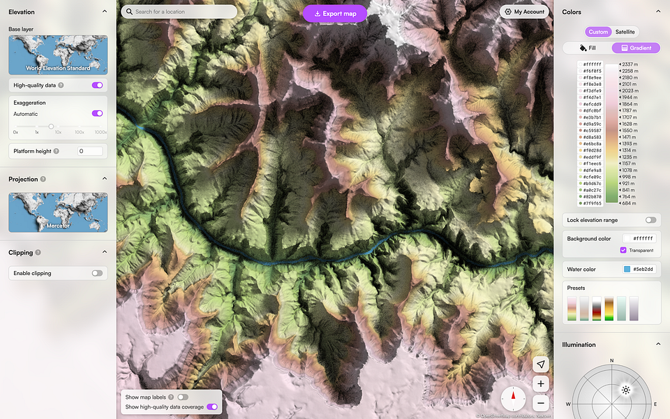
ReliefViz is an easy-to-use tool to create beautiful shaded maps of any location in the world. You have full artistic control: customize color schemes, lighting, terrain exaggeration to make a perfect topographic map from real-world geo-data. You can also create detailed shaded maps of cities using our LiDAR library! This tool is a perfect fit if you need to quickly make a map for a presentation, wall art, or make a visualization.


