visualAI
Drone images into 3D models and aerial intelligence
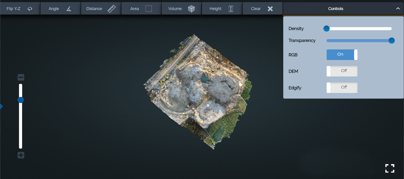
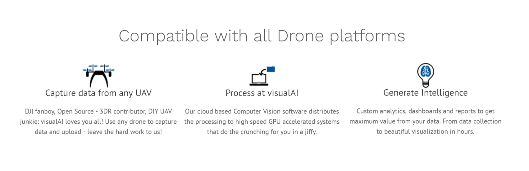


visualAI is a data science tool for drone pilots and UAV companies. Compatible with any drone in the market including the popular DJI and 3DR machines.
A data processing platform that drone pilots can use to generate intelligence from their raw aerial images. To do this, we deploy truly scalable GPU powered cloud servers that crunch together the millions of pixels in the hundreds of images to create a 3D model/reconstruction of the area. In addition to the 3D model we're developing Industry specific tools for Agriculture, Mining and Solar which the users can use to interpret the visual data.
More like visualAI
Startups doing something similar, featured in the last two years


Build, deploy, and scale AI vision from any camera in minutes

The first AI operating system for real estate


All-in-one AI spatial design visualization platform

Agentic creative studio for video and image

Turn raw footage into polished stories using AI

Practice sales calls with AI buyers and get instant coaching


